
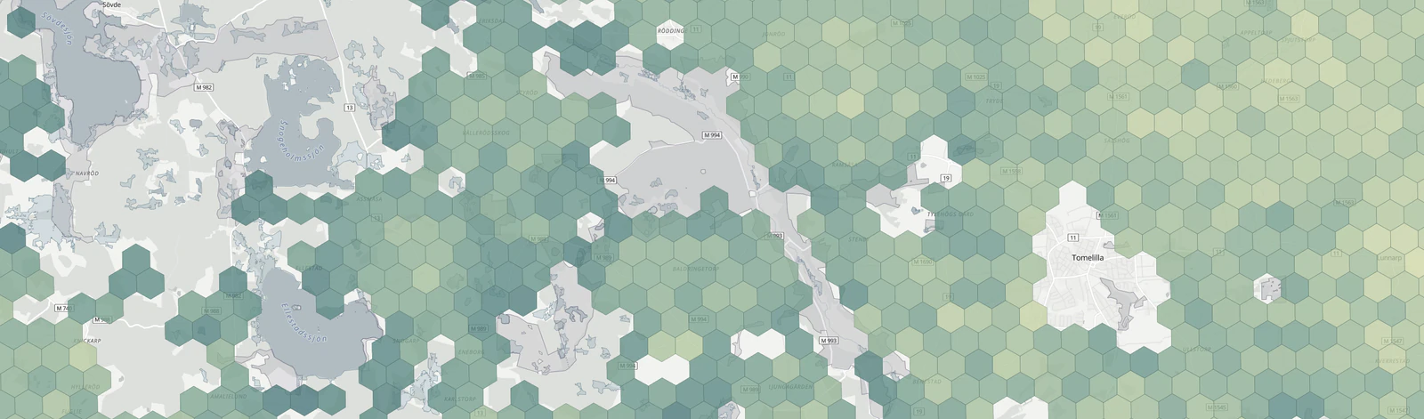
Landscape Restoration Prioritizer
An interactive screening tool for finding and comparing areas in Skåne that may warrant a closer look for ecological restoration.
Environmental GIS / Spatial Analysis / Prioritization / Python / Web Mapping
GEOSPATIAL SCIENTIST, DEVELOPER, AND CARTOGRAPHER
I'm Aaron Roper, a geospatial scientist, developer, and cartographer based in Skåne, Sweden. I started out in environmental science and have gradually moved deeper into remote sensing, automation, spatial data engineering and application development.
Questions, models and evidence
Satellite, aerial and LiDAR data
Python, PostGIS and automation
Cartography and interactive tools
Selected work
An interactive screening tool for finding and comparing areas in Skåne that may warrant a closer look for ecological restoration.
Environmental GIS / Spatial Analysis / Prioritization / Python / Web Mapping
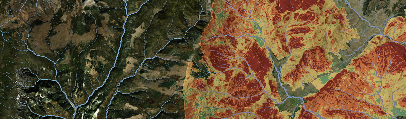
Wildfire and watershed planning work combining post-fire hydrology, sediment and debris-flow analysis, Python automation, dashboards and interactive GIS tools.
Wildfire / Hydrology / Environmental modeling / Python / Web GIS
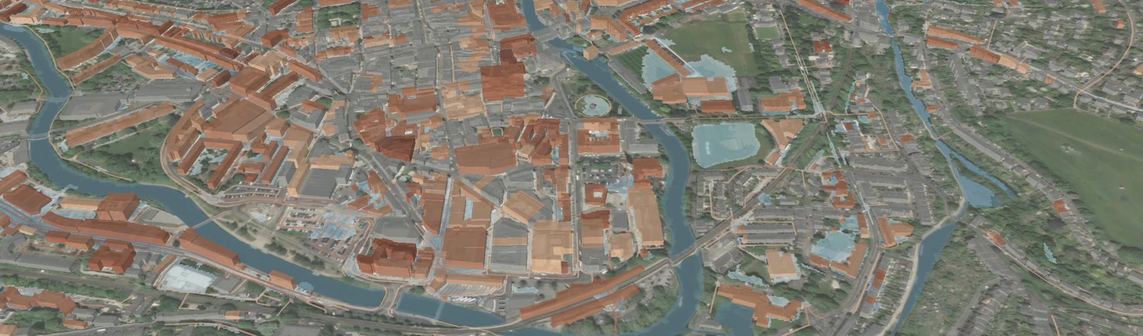
An interactive 3D application for seeing which buildings and roads intersect surface-water flood hazard under different scenarios in Bath, UK.
Flood Risk / Spatial Analysis / Data Engineering / 3D Web Mapping / Python
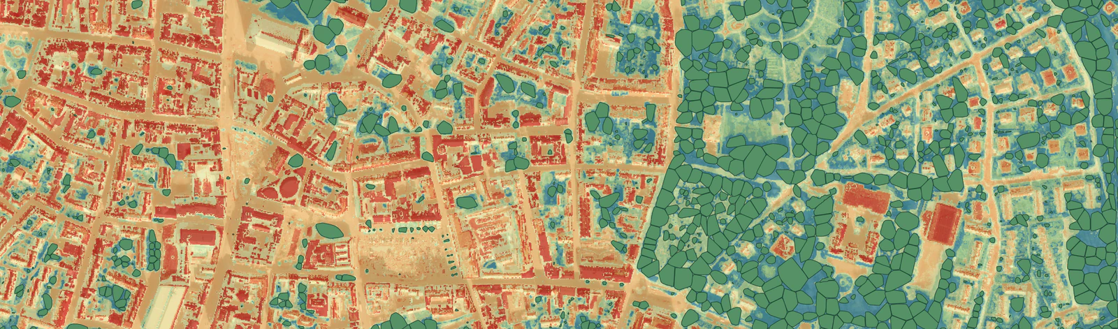
Work across urban forestry, heat and green-infrastructure planning in Sweden, including LiDAR-derived tree inventories, Landsat heat analysis, spatial data pipelines, PostGIS-backed services and interactive web tools.
Urban forestry / Remote sensing / Python / PostGIS / Web GIS
A selection of cartographic and spatial-visualization work across environmental, reference and site-scale mapping.


Professional experience
I've worked in government research, environmental consulting, independent client work and climate technology. The settings have been different, but I've mostly been drawn to the same kind of work: figuring out a spatial problem, working through the data carefully, and finding a useful way to communicate or apply the result.
01
Green Urbansights
Climate technology · Sweden
Leading geospatial development for urban forestry, heat and green-infrastructure work, with hands-on responsibility for analysis, data processing and web applications.
02
Roper Geospatial
Independent client work
Independent work spanning data preparation, analysis and web GIS, including an application for more than 17,000 water-quality observations and machine-learning classification of historical aerial imagery.
03
SWCA Environmental Consultants
Environmental consulting · United States
Six years of environmental consulting across 58 projects in 13 U.S. states, with work in renewable energy, wildfire, watersheds, habitat, automation, web GIS and cartography.
04
U.S. Geological Survey
Government research · United States
Co-developed and maintained the United States Wind Turbine Database, combining imagery interpretation, data integration, geodatabase management and QA/QC for a national public dataset.
Services
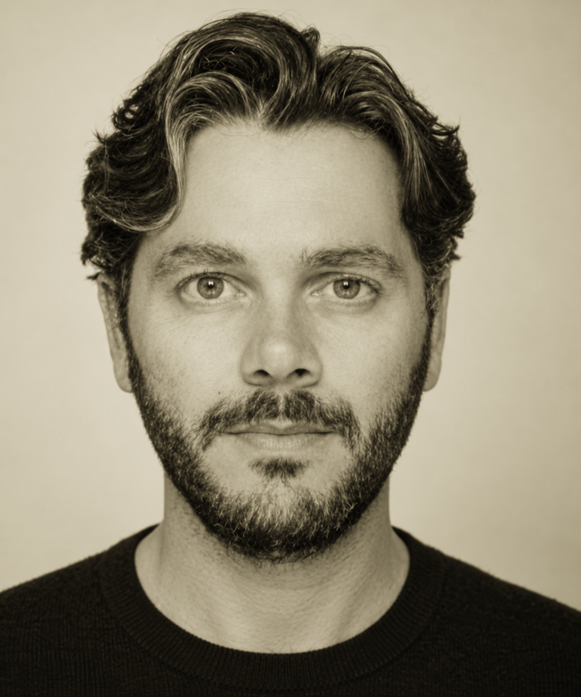
About
I'm Aaron Roper, a geospatial scientist, developer, and cartographer based in Skåne, Sweden. I started out in environmental science and have gradually moved deeper into remote sensing, automation, spatial data engineering and application development.
More about meContact
I'm open to conversations about geospatial roles, project-based work and technical collaborations, especially around environmental data, remote sensing, spatial analysis and mapping.